Is there a trick to centralize your route map on your hub?

Like this:
Is there a trick to centralize your route map on your hub?
Like this:
I think that only happens when you have a lot of routes?
I'm only flying 65 planes, of which 8 are super long haul and 8 long haul. Thats nothing compared with some other airlines. I don't think it has to do with my number of routes. Is there someone who knows how to adjust the routemap so all flights do fit on it?
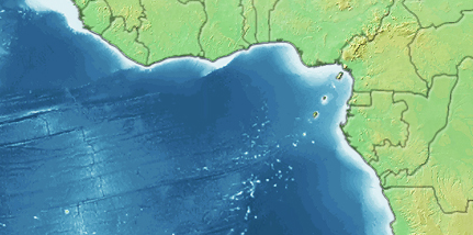
For all of my airlines, the routemap is magically centred on my primary hub. Your longhaul map is odd, in that your primary hub is off-centre, and your Asian and Pacific routes wrap around.
Your network map has a URL of <server>.airlinesim.aero/app/map/<Enterprise ID>/<min distance>/<max distance>/network.png
Your map is centred on YYZ for all routes from a range of 0-12500, (of which I assume the distance units are in KM, but it’s early and I’ve only a single cup of coffee in me so far.) past 13000 is when the focus of your route map shifts from YYZ to someplace in Europe, and coincides with the drawing of YYZ-HKG.
I’d report it to the support system as a bug, it’s unexpected that your home airport is centred for the shorthaul (0-2000) and medium haul (2000-5000) settings, but goes off-centre when displaying longhaul routes (5000+), but displays normally for longhaul routes <12500.
Edit: Inconsistent testing before, as I was always using 0 as the starting distance. The LH route graphic works normally from 0-12500 and 5000-11500, but at 5000-12000 it goes funny (addition of somewhere around India).